Last week I started the Master GIS at Esri Spain. This is a great challenge, I feel this will change the way I work and how I see the world.
This edition is the fifth one, with 24 people coming from many fields and professional backgrounds.
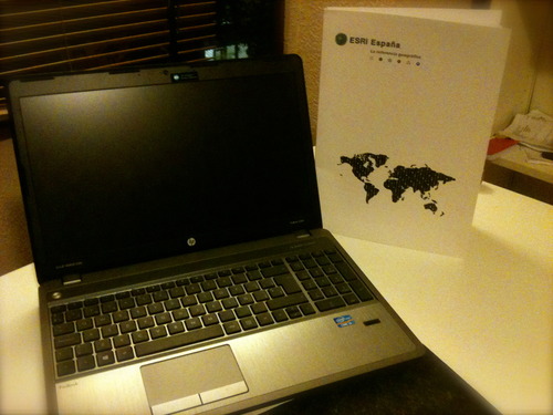
ESRI has provided us with some fantastic equipment, but inspiration and ideas are on us :) I’m quite eager to rack my brain building some geospatial apps with ArcGIS.
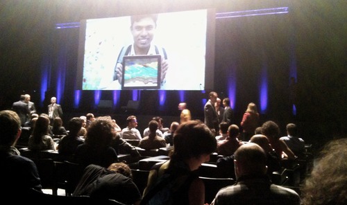
We got off to a good start attending ESRI Conference Spain 2013, which was held in Madrid on October 2 - 3. This year more than 2000 visitors got together in a dedicated space to exchange valuable ideas.
The Managing Director of ESRI Spain, D. Alfonso Rubio introduced us how GIS is transforming business in his keynote session. Then, a wide range of case studies were presented during the sessions.
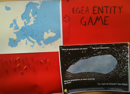
Some interesting projects such as Sitga, Sitegal and Proxecto Ríos, presented by Xunta de Galicia, enable citizens to access updated and transversal information at any time, in an easy and intuitive way.
There were some other sessions on Location Analytics from RiderState, CognoGeo and others. RiderState presented a social game for bicycle users, and CognoGeo showed how make better decisions using a combination of Business Intelligence and GIS.
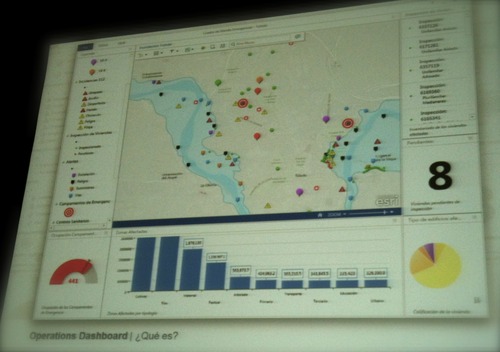
The variety of technical and sectorial talks that took place in the event was amazing. I chose the technical ones, since I was specially curious about the new functionalities and features of the last version of ArcGIS. The topics included:
- how to create operational dashboards,
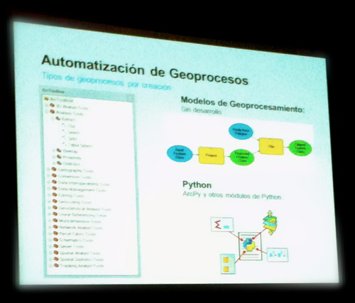
- how to build geoprocessing models with ModelBuilder and Python,
- how to use ArcGIS Online templates,
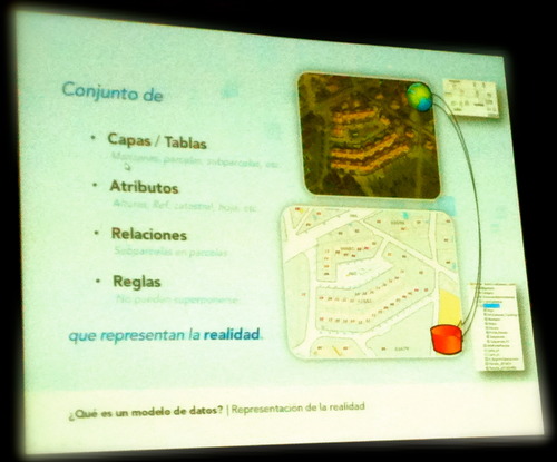
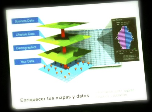
- applications of Location Analytics and Geodatabase,
- development of web applications with iOS and Android.
If you missed it you can download the presentations and watch the videos online. Check below some photos of the event!
Opening speech
Technical talks
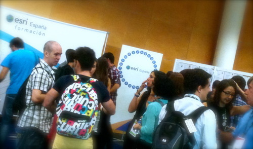
Interaction time